This half term, Year 1 have been busy becoming Mini Mappers in their Geography lessons. The children have learned all about maps, what they show us, and how geographers use them to explore and understand the world around us.
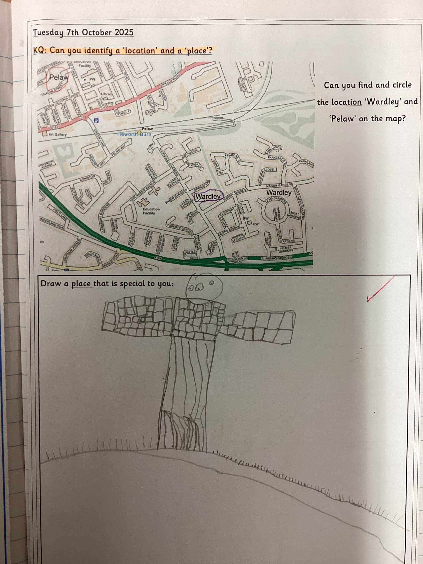
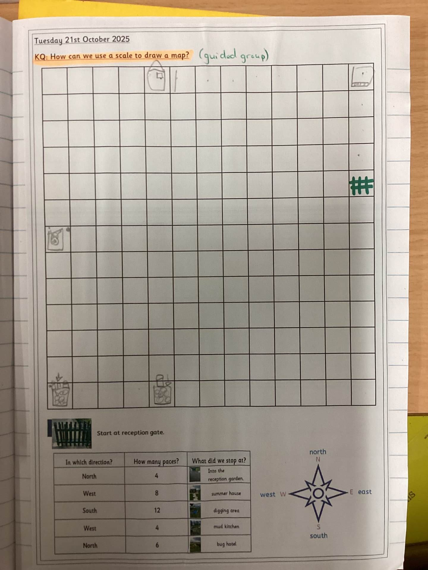
They began by learning that a location is a point on a map, while a place is somewhere we recognise. The children practised using the four compass points – north, south, east, and west – to give directions and locate places around school. They enjoyed using real compasses to explore how we can find our way.
We also looked at how scale is used on maps to show size. The children discovered that scale represents the relationship between a distance on a map and the distance in real life. They even had a go at drawing their own maps to scale, making objects smaller but still in proportion.
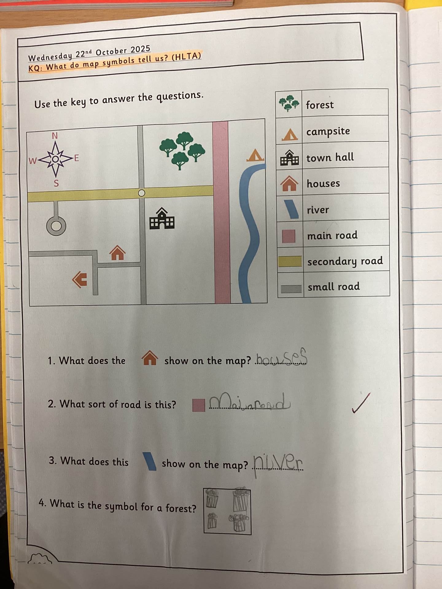
The class learned that map symbols help us understand what features mean, such as roads, rivers, and buildings.
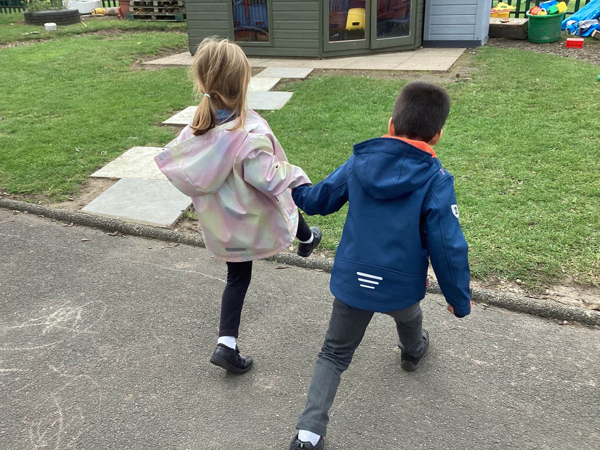
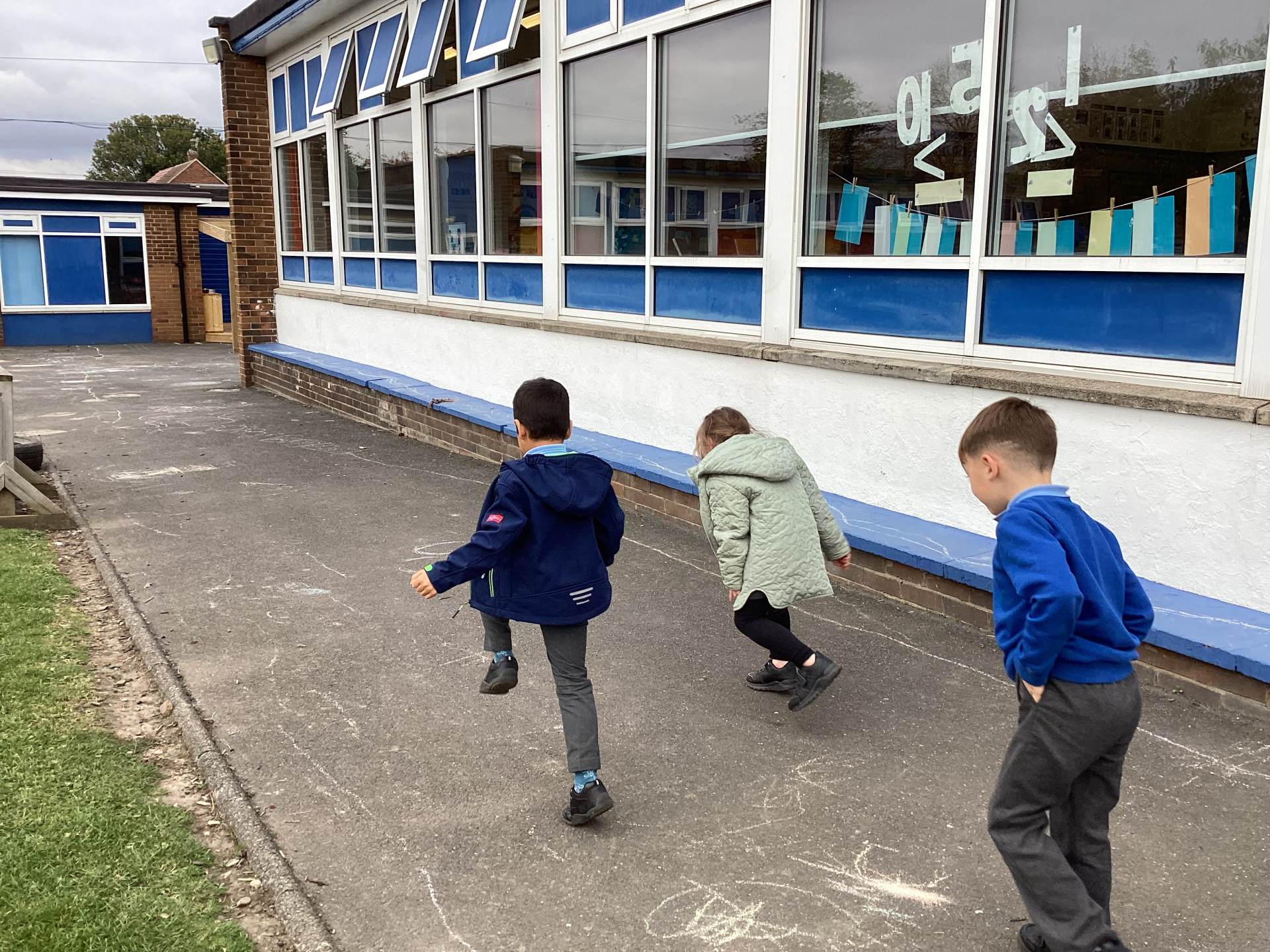
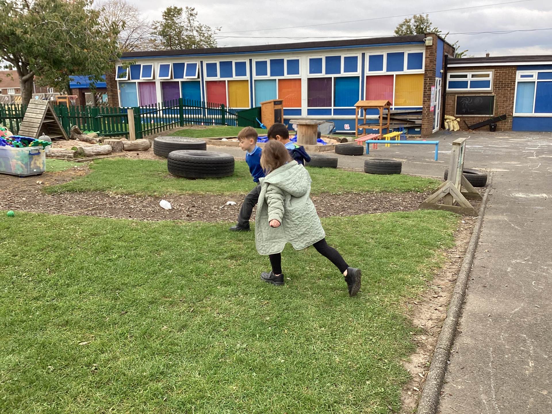
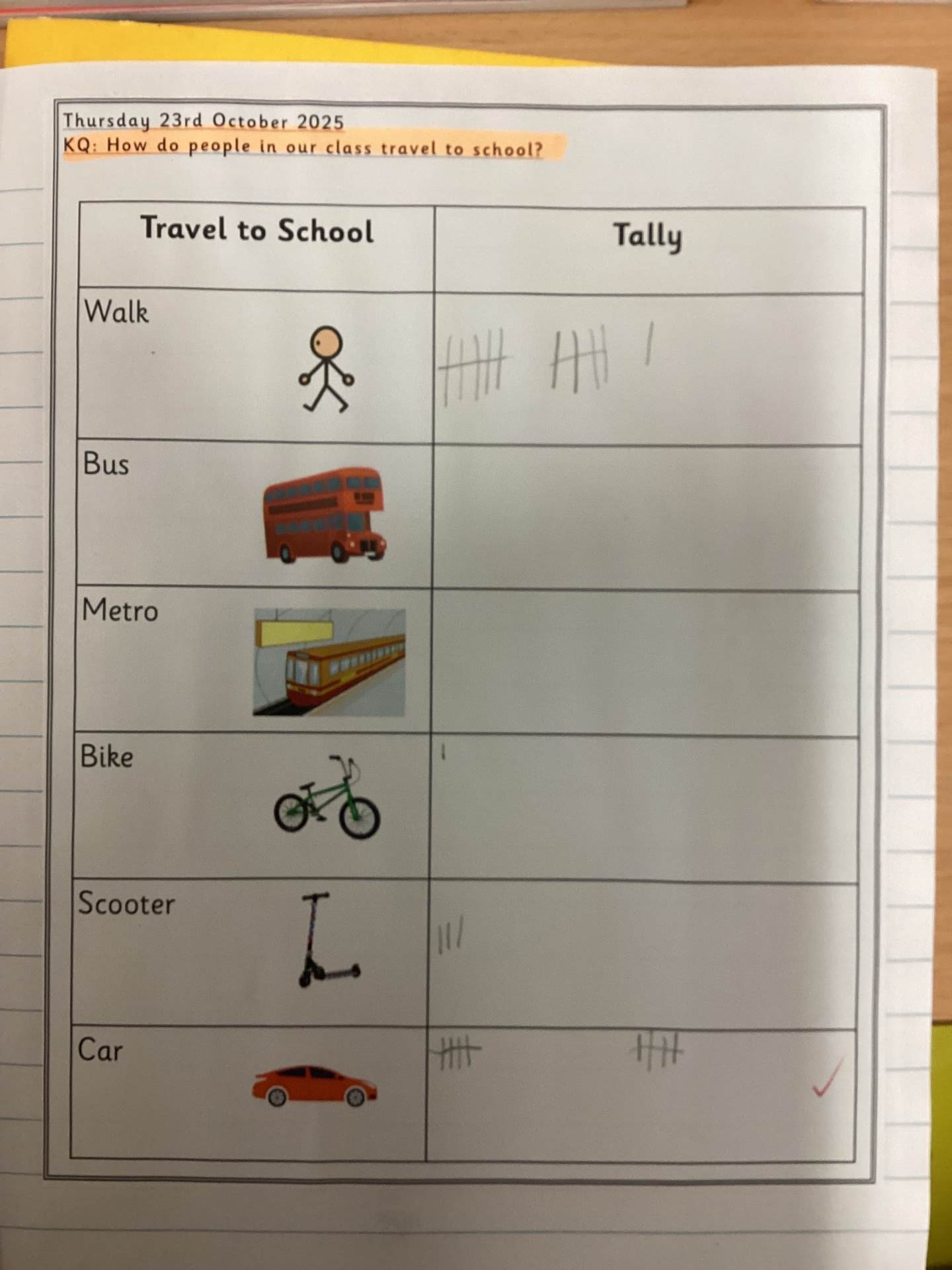
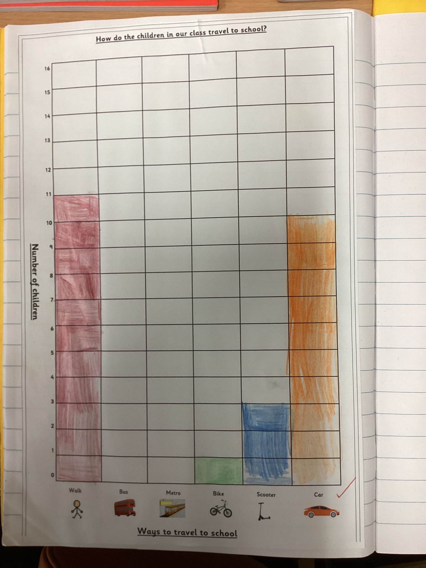
Finally, our young geographers carried out some fieldwork to find out how children in our class travel to school. They collected and recorded data, then discussed the different ways we can travel and how these choices can help look after our environment.
